
In recent years, there has been a significant advancement in the field of Artificial Intelligence (AI) and Augmented Reality (AR). These technologies have become increasingly popular and have the potential to enhance virtual experiences in various fields such as gaming, education, healthcare, and...
A Digital Ecologist Monitors Deforestation in Real Time via Satellite
7
15.08.2026
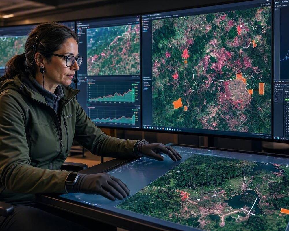
Forests can disappear long before authorities, researchers, or local communities see the damage on the ground. A digital ecologist closes that information gap by using satellite imagery, automated alerts, and geospatial analysis to detect forest loss as it happens. This work transforms observations from orbit into practical evidence for conservation teams, governments, journalists, and Indigenous land defenders.
Although the process is often described as real-time deforestation monitoring, most operational systems work in near real time. Depending on the satellite, cloud cover, and data pipeline, a warning may arrive within several hours or days. That speed is still a major improvement over traditional forest surveys, which can take months to organize and complete.
How Satellite Forest Monitoring Works
Optical Images Reveal Changes in the Canopy
Optical satellites measure reflected sunlight across visible and infrared wavelengths. Healthy vegetation has a distinct spectral signature, allowing an ecologist to compare images and identify canopy loss, new roads, burn scars, or expanding agricultural fields. Public missions such as Landsat and Sentinel-2 provide frequent, consistent coverage that supports long-term analysis.
Optical monitoring has one important limitation: clouds and smoke can hide the land surface. Tropical forests are particularly challenging because persistent cloud cover may prevent a clear observation for weeks.
Radar Sees Through Clouds
Synthetic aperture radar sends microwave signals toward Earth and records how they return. Unlike optical sensors, radar can collect useful data at night and through clouds. Changes in the structure and moisture of vegetation can indicate clearing or degradation. Radar is therefore essential for rapid monitoring during rainy seasons and in humid tropical regions.
From Raw Pixels to Actionable Alerts
A digital ecologist does more than inspect satellite pictures. The specialist builds a workflow that filters enormous datasets and prioritizes suspicious changes. A typical monitoring process includes:
- Collecting recent optical and radar observations for a defined forest area.
- Correcting imagery for atmospheric, geometric, and sensor-related differences.
- Comparing new measurements with historical forest baselines.
- Using algorithms to flag abrupt or persistent vegetation loss.
- Reviewing alerts to remove clouds, seasonal variation, floods, and other false signals.
- Sending verified coordinates to field teams or responsible authorities.
Machine learning can accelerate classification, especially across large territories. However, an algorithm cannot automatically explain why trees vanished. Clearing may result from illegal logging, legal harvesting, wildfire, mining, infrastructure, or small-scale agriculture. Human interpretation remains necessary.
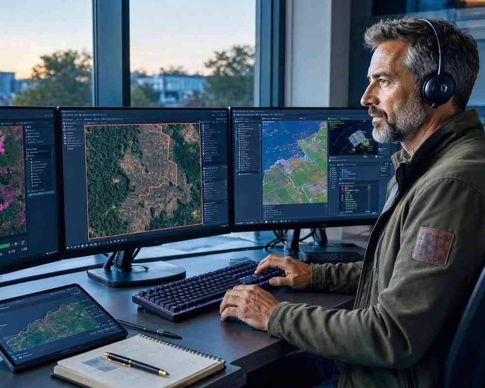
Why Ground Verification Still Matters
Satellite Detection Is Evidence, Not a Verdict
Field verification connects remote observations with local reality. Rangers may visit an accessible site, while community members can provide photographs, drone footage, or information about recent activity. When travel is dangerous, analysts may compare additional satellite dates, fire records, land concessions, and road networks.
Verification also protects communities from misleading conclusions. A change detected from space could involve a traditional farming cycle, storm damage, or an authorized restoration project rather than criminal deforestation. Responsible monitoring combines technical confidence with knowledge of land rights and local ecology.
Conservation Benefits and Practical Limits
Rapid alerts help enforcement teams respond before logging roads expand, guide patrols toward high-risk locations, and document repeated incursions. Researchers can measure habitat fragmentation, estimate pressure on protected areas, and identify corridors that require urgent protection. Transparent maps also help companies assess whether agricultural supply chains are linked to recent forest conversion.
Yet satellite monitoring does not stop deforestation by itself. Effective intervention requires funding, institutional authority, secure land tenure, and protection for people reporting environmental crimes. Data access can also be uneven, while high-resolution commercial imagery may be expensive.
The Evolving Role of the Digital Ecologist
The modern digital ecologist combines ecology, remote sensing, programming, statistics, and communication. The goal is not simply to produce maps, but to deliver reliable information in a form decision-makers can use. As satellites revisit forests more frequently and analytical tools improve, monitoring will become faster and more precise. Its success, however, will continue to depend on careful validation, ethical data use, and cooperation with the communities living closest to threatened forests.