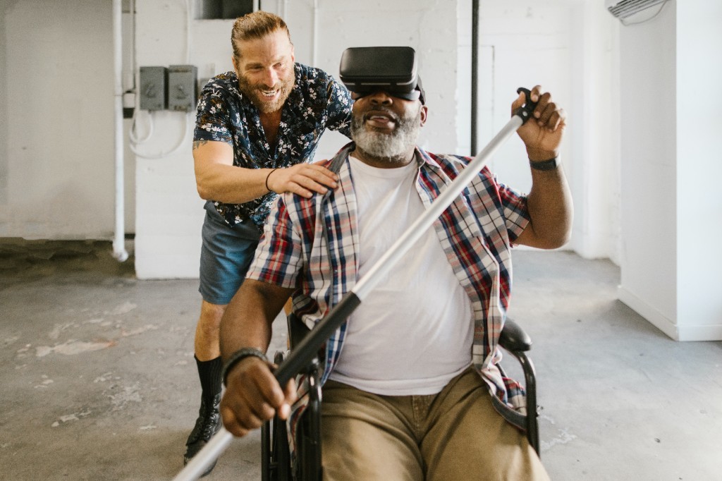

In recent years, there has been a significant advancement in the field of Artificial Intelligence (AI) and Augmented Reality (AR). These technologies have become increasingly popular and have the potential to enhance virtual experiences in various fields such as gaming, education, healthcare, and...
AI Learned to Predict Tsunamis by Cloud Movement Over the Ocean
49
08.08.2026
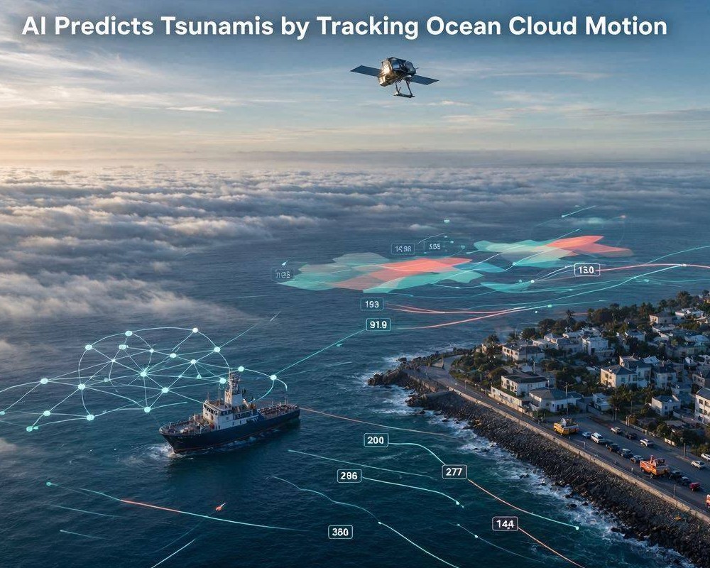
Predicting a tsunami fast enough to save lives is a long-standing challenge. Waves can travel across oceans in minutes to hours, while traditional monitoring often relies on a limited network of sensors and time-consuming analysis. Now, a new approach is emerging: an AI system that learns to anticipate tsunamis by interpreting patterns in how clouds move over the ocean.
At first glance, clouds and tsunamis seem unrelated. But when a major earthquake occurs and water systems change, the ocean surface and lower atmosphere can react in ways that indirectly affect wind patterns, humidity, and the formation or drift of cloud bands. By observing these atmospheric signatures, machine learning can turn remote sensing data into a practical forecasting signal.
Why cloud movement can carry tsunami information
When seismic events displace the seafloor, the resulting tsunami is not only a surface wave problem. It can also disturb the near-surface environment. Even subtle atmospheric changes can become visible in satellite imagery and time-lapse motion fields.
Clouds act as natural tracers of air flow. If the atmosphere above the ocean shifts—due to changes in pressure gradients, wind speed, or moisture pathways—cloud structures may drift differently than expected. Over large spatial scales, those differences can be learned statistically and recognized as potential tsunami precursors.
Key physical pathways
- Near-surface pressure and wind anomalies: Atmospheric layers respond to ocean-driven perturbations and altered heat/moisture exchange.
- Moisture and condensation patterns: Small changes in humidity can modify cloud thickness and where clouds form.
- Transport of cloud features: Satellite-tracked motion encodes wind behavior over the ocean.
How the AI system learns
Instead of asking the model to “understand” tsunami physics directly, researchers train it on data pairs: remote observations of cloud motion and corresponding tsunami outcomes. Over time, the AI learns which motion patterns correlate with high-risk events.
Inputs from remote sensing
The model typically uses satellite-derived products such as cloud-top imagery, atmospheric motion vectors, or processed representations of cloud drift. These inputs are captured across the ocean surface in sequential time windows, allowing the system to observe how the atmospheric scene evolves after an earthquake.
Learning objective and pattern recognition
The learning task is usually framed as classification or probabilistic forecasting: detect whether a tsunami is likely, estimate risk levels, or predict timing windows. To reduce false alarms, the AI must distinguish tsunami-related motion patterns from normal atmospheric variability—storm tracks, seasonal wind patterns, and regional weather systems.
Because the ocean and atmosphere are highly dynamic, robust training requires careful labeling, balanced examples, and validation against multiple events across different seasons and geographic regions.
Benefits over traditional approaches
Cloud-motion-based AI does not replace seismic instruments or ocean buoys; it complements them. Its value lies in speed, coverage, and the ability to detect signals where ground-based measurements are sparse.
Practical advantages
- Broader spatial coverage: Satellites can observe vast ocean regions continuously.
- Faster situational awareness: Motion patterns can be analyzed in near real time.
- Early warning support: Even partial signals can help emergency managers refine forecasts and evacuation decisions.
- Redundancy: Multiple indicators (seismic, ocean, atmospheric) reduce reliance on any single sensor type.
Limitations and the need for careful validation
Cloud movement is affected by many weather processes unrelated to tsunamis. Tropical cyclones, frontal systems, and monsoon changes can all create strong motion signatures. As a result, the AI must be evaluated under diverse meteorological conditions and tested for stability across years and sensors.
Another challenge is interpretability. Stakeholders need to know why the system raises an alert, not only that it does. Researchers often address this with explainability techniques such as attention maps, feature attribution, or motion-field diagnostics that highlight which regions and time intervals influenced the prediction.
What developers must verify
- False alarm rate: Alerts must be rare enough to maintain public trust.
- Generalization: Performance should hold across different basins and climates.
- Timing accuracy: The system should provide useful lead time, not just event confirmation.
- Operational resilience: Data latency, missing imagery, and sensor changes must be handled gracefully.
From research to real-world tsunami forecasting
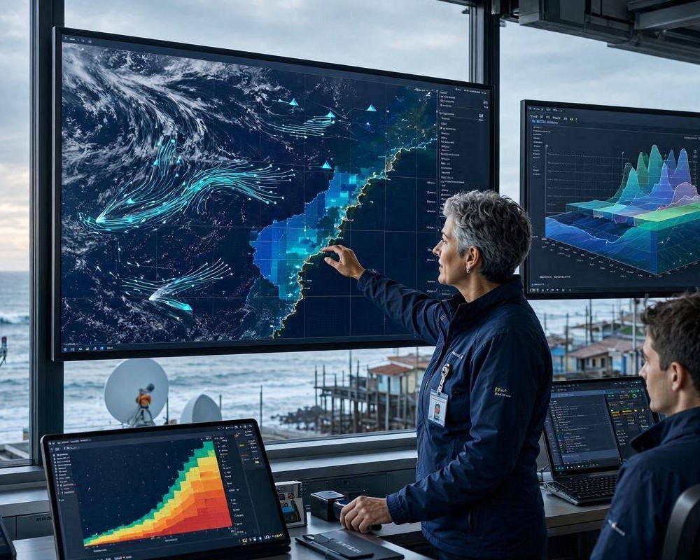
To move from promising experiments to operational use, the AI workflow must integrate with existing tsunami warning chains. Typically, it would ingest satellite feeds, run predictions on time-critical windows, and output risk scores that can be reviewed alongside seismic alerts and ocean observations.
As more training data accumulates and models improve, cloud-motion AI could become an additional “atmospheric lens” for tsunami detection—turning the ocean’s atmosphere into an early warning instrument.
In the end, the most meaningful impact will be measured in seconds and minutes: faster confirmation, clearer risk levels, and better-informed decisions when people and coastlines need protection most.